
Conservation organizations concerned about lack of old growth forest protection
Editor’s note: This is the first in a series covering the final revision plan. Next week’s article will feature an interview with the Southern Environmental Law Center.
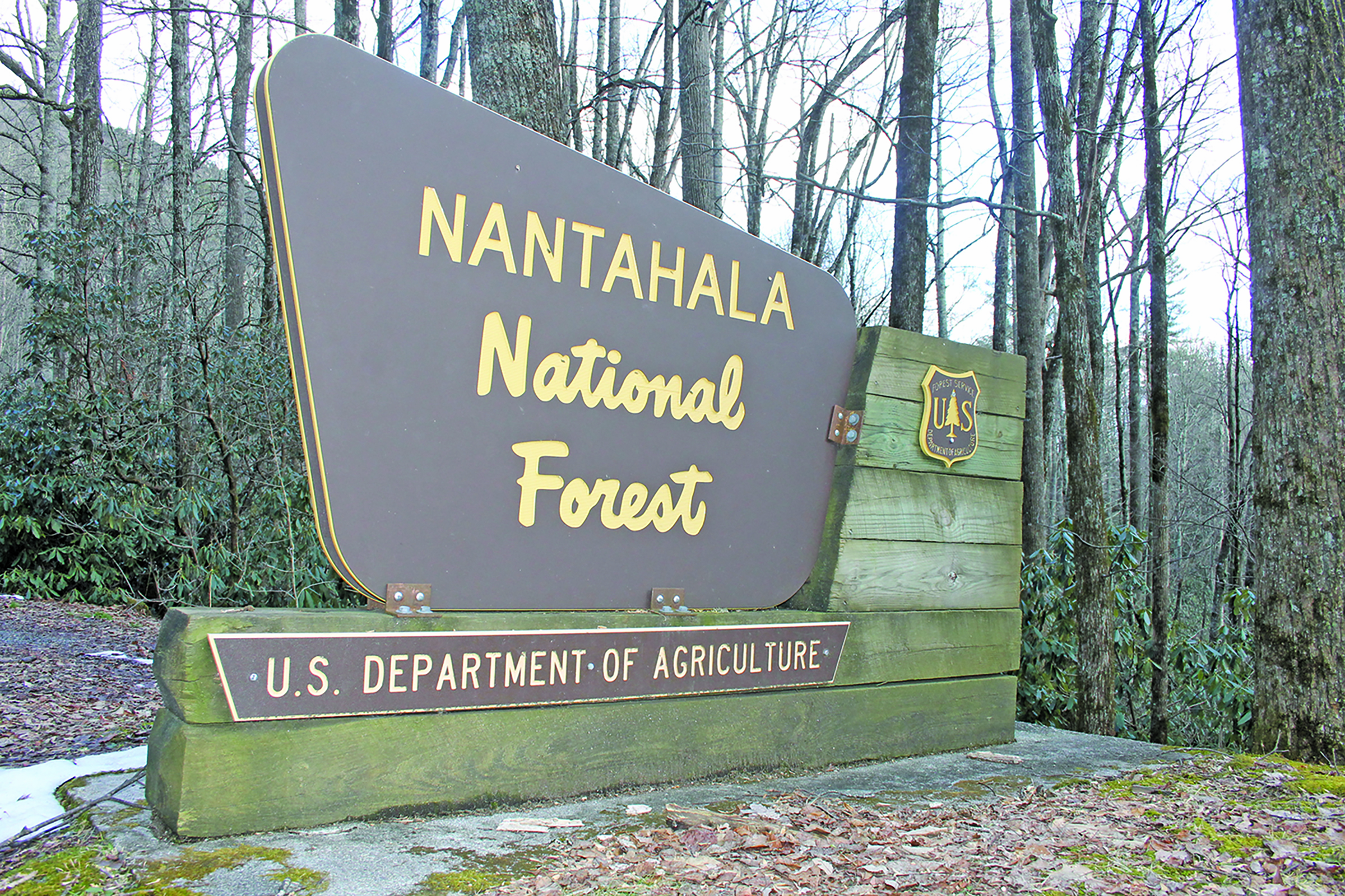
After years of the assessment phase of its land management plan, The U.S. Forest Service has released the Nantahala and Pisgah National Forests’ revised forest plan and the revision process has entered the final phase, a 60-day objection period for parties who submitted substantive comments during development of the plan.
Once any objections have been resolved, the forest plan will be finalized, and implementation can begin.
According to the U.S. Forest Service, in developing the plan, forest resource specialists worked with representatives of state and local government, Tribes, interest groups and the public to consider alternative approaches to managing the forests that offered different ways to make progress towards multiple goals and be sensitive to special places. The forest service said the final plan balances the tradeoffs among the multiple uses of national forests including recreation, timber, water, wilderness and wildlife habitat.
The forest service received more than 20,000 comments from the public, following the release of the proposed plan. In analyzing the comments, the forest service developed a new management option, Alternative E.
According to the Draft Record of Decision, a 91-page document that outlines the rationale for the decision, Alternative E will increase emphasis on prescribed fire, establish an expanded network of old-growth forest, promote sustainable trail development and focus on addressing a backlog of road maintenance by decommissioning unneeded roads and expanding access in areas with high demand.
Some regional conservation organizations do not agree with the forest service’s statements.
MountainTrue public lands biologist Josh Kelly said after eight years, and the wealth of public comments the forest service received, he had higher hopes.
“I think there are a number of areas in the plan where they could have done more,” Kelly said. “I think the best alternative that I have read so far is the collaborative alternative submitted by the Nantahala, Pisgah Forest partnership that the forest service dismissed in their Record of Decision. That proposal had a great strategy for achieving all of the needs for the interests of the forests. I think what the forest service has chosen in Alternative E is likely to decrease efficiency overtime and is least likely to bring all of the interests of the forest together.”
In the plan, Kelly said he saw several things that will affect the Highlands area.
“A place where I would point out where the forest service missed the mark is Panthertown Valley,” Kelly said. “The Friends of Panthertown asked for the entire area to be either a special interest area or back country and the forest service allocated around 2,000 acres of the area on the northern side to Matrix and Interface, which are timber management companies. It leaves it open for the possibility of timber harvesting in that area. What that will create is a fight among stakeholders that could have been avoided.”
Regarding the areas that the plan could improve on, Kelly said land allocation and protecting existing old growth.
“I think the plan right now, allows the forest service to cut old growth in Matrix and Interface management areas,” Kelly said. “That is something I am real concerned about. I think the plan leaves too many loopholes open for cutting timber in management areas like the Appalachian Trail corridor. I think those need to be managed to a standard set up by the Appalachian Trail Conservancy. I think the forest service is trying to give themselves more leeway and discretion. In general, I haven’t read the whole plan yet, but I see too much discretion in the plan and not enough accountability.”
Another problem that Kelly noted is that he believes the two forests are not being treated equally in the plan.
“I think it is pretty interesting how differently the forests are being treated,” Kelly said. “If you look at the backcountry area, the Pisgah National Forest has about twice the amount of the Nantahala National Forest; 80,000 acres compared to 47,000 acres, but if you look at the timber production areas, Nantahala National Forest has about 90,000 more acres. So, for me, they are pretty equal in quality and value. I wouldn’t want to speculate as to why they are doing that, but it may be political.”
Kelly said even though it could have been a better plan, there are some good things in it.
“There are some things that have improved over the planning revision,” Kelly said. “One of those things is the increase in special interest area acres. That was a welcome addition to the plan. I also think the fire management goals and strategies were really big improvements.”
The Chattooga Conservancy is part of the Nantahala-Pisgah National Forest Partnership. The partnership, formed in February of 2013 as a collaborative group of more than 30 organizations, represents a diverse cross-section of public lands interests, including recreation, forest products, local government, cultural heritage, conservation, wildlife, hunting, angling, and other forest user groups. The Partnership was created with the goal of working collaboratively and in parallel to the US Forest Service planning process. Representing a diverse spectrum of interests, partners have worked to foster civic engagement, generate positive guidance, and develop recommendations for creating the best possible revised management plan for the Nantahala and Pisgah National Forests.
Nicole Hayler, executive director of the Chattooga Conservancy, participated in a multiple hour long meeting with the partnership, members of the forest service and others heavily involved in the planning process.
Hayler said the overall reception of the meeting was “one of bitterness and disappointment.”
“While we appreciated the presentation, it did confirm our reading of the plan,” Hayler said. “I think overall, with our partnership group, they have been working for many years towards a vision of collaborating with the forest service on a give and take consensus process, where the group would agree to more active management of the forests, which means increased timber harvesting with a comparable amount of increased protection for special areas. What the plan came out as going for the significant increase in timber harvest without the significant increase in protection of special areas. For this particular group that we are an affiliate member of, from my view point, that would be a fair summary of this meeting.”
From the beginning, Hayler said the forest service noted that the plan supports the management of the forests for young and open forest conditions, which, according to Hayler, brings a concern about old growth maintenance.

A comparison of the different alternatives broken down by issues.
“There are a handful of high priority issues, and the old growth is probably the most outstanding by consensus of the group,” Hayler said. “The forest service will tell you that they have increased their old growth acreage in the network, but then you have to take the next look at it and say not all of that is old growth. If old growth is found during a project implementation phase, like a timber harvest, there is no guarantee that it will be protected. It can be cut. The very fact that the forest service, in this new plan, is still not protecting existing old growth is emblematic of the mindset of the agency that harvesting timber is their highest priority.”
According to the draft plan, Alternative E added more than 54,000 acres of old growth to its Old Growth Network. The plan states that the alternative was built in consideration of the latest scientific literature, academic input and information provided by commenters and the N.C. Natural Heritage Program regarding inventoried locations of existing old growth patches. The resulting network includes 291 separate patches, totalling 265,385 acres that represent approximately 25 percent of the Nantahala and Pisgah National Forests. The forest service noted that compared to the Old Growth Network presently, Alternative E has a 13 percent increase in old growth acreage.
“Alternative E would provide the largest network of any alternative,” The forest service said in the draft. “Only Alternative C is close in size, with about 9,000 fewer acres. Under Alternatives A, B and D, it would take many decades to achieve such a network. Additionally, this alternative increases the amount of larger patches by 25 percent more than the existing network, increasing overall resiliency and connectivity. Only Alternative C has as many larger patches as Alternative E, however, Alternative E has an additional 20,000 acres dispersed across these large patches, improving their resiliency.”
It also states in the plan that in Alternative E it restricts any additions to the old growth network but compensates that restriction by adding 54,000 acres to the network and if existing high-quality old growth is found during project level analyses, then project decisions would have the opportunity to decide what management actions could occur. The plan monitoring program will monitor whether the forest service is moving toward their desired conditions for old growth on the landscape and may make recommendations for changes needed in the next planning cycle.

According to the draft plan, Alternative E added more than 54,000 acres of old growth to its Old Growth Network.
With the forest service citing the best available science as their reasoning for most of what was added in Alternative E, Hayler said everything points back to preserving old growth.
“Across the board, the forest service said they used the best available science, whether it was talking about endangered species or old growth,” Hayler said. “In our group, we believe that the best available science points to climate change as being an existential threat to our human race and the plants and animals that are with us. To address climate change, the best thing you can do is to protect ecosystems that sequester carbon. All of that points back to preserving old growth. So, for the forest service to claim they are using the best available science, but allow the harvesting of existing old growth on the ground, what year is this? This is ground zero on using best available science and how it should be applied to manage our public land.”
As far as the Highlands-Cashiers areas, Hayler said they had some very specific requests with one being flat out turned down.
“The forest service originally recognized Overflow Creek as eligible for ‘Wild and Scenic’ classification as more towards the scenic side, but the public did not want that, they wanted it to be recognized as wild,” Hayler said. “In response, the forest service completely struck it. That is how they are saying they considered public input. Basically what they said is that they looked at it and it has very high scenic value, but we don’t think it’s anything special. We vehemently disagree. That stream is tributary to the wet work of the Chattooga, which the forest service in this new plan recognizes as a high priority watershed for protection, but downgrading the protective status of this stretch of Overflow Creek does not reflect that.”
The Overflow Creek area is located in Macon County, southwest of Highlands. The area includes the congressionally designated Overflow Creek Wilderness Study Area. The late Dr. Robert Zahner, Highlands resident and one the most respected conservationists in the Southern Blue Ridge Mountains, championed the Overflow Creek area as a qualified wilderness area.
The Forest Service stated that the Overflow Creek area is “smaller than stand-alone area size usually considered practicable for preservation and use in an unimpaired condition.” However, the Overflow Creek area is not too small.
“The Forest Service only evaluated the Overflow area as far as the North Carolina state line, and failed to consider the area’s contiguousness with 2,700 acres of primitive backcountry just across the state line, in the Chattahoochee National Forest in Georgia,” Hayler said. “Overflow’s 3,900 acre potential wilderness area in NC, together with a contiguous 2,700 acres of primitive backcountry in GA, encompass a 6,600 acre potential wilderness area. State boundaries should not determine the boundaries of wilderness.”
Now, with the plan in the objection period, Hayler said there will definitely be objections from her organization, as well as the Nantahala-Pisgah Partnership.
“These organizations went through all of this and made an active effort to collaborate with the forest service, and try to balance the timber production and the protection,” Hayler said. “What came out of this was more timber production and less protection.”
This is the first part in a series on the Nantahala and Pisgah Forest Land Management Plan.
- By Christopher Lugo